Welcome
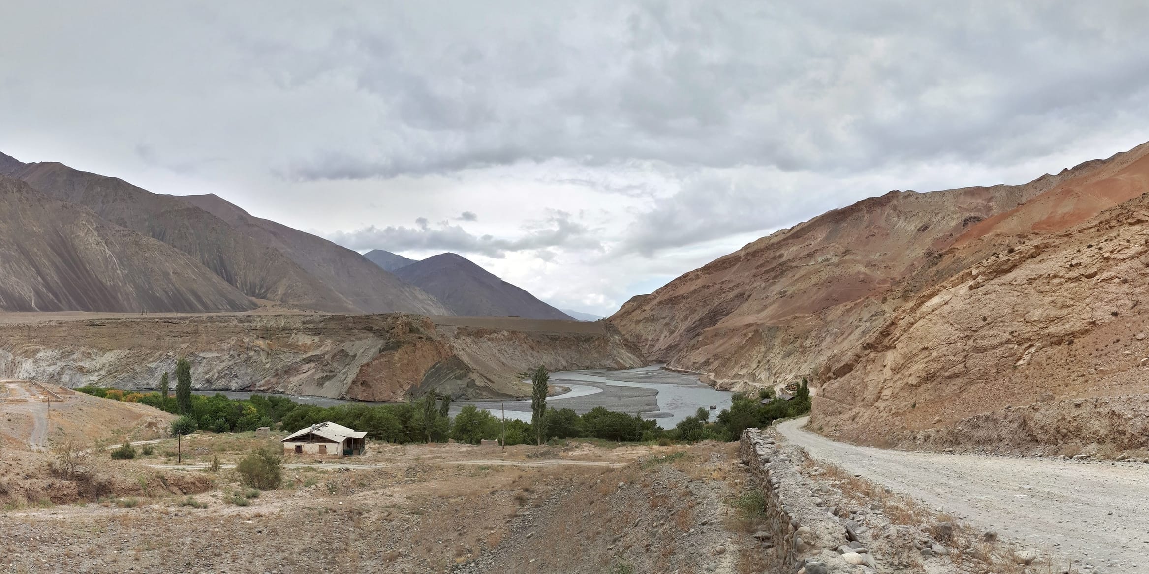
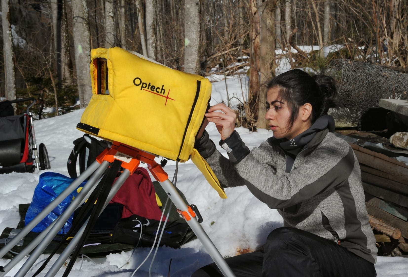
My research interests lie primarily in the understanding of mountain hazards, particularly earthquakes and rockfalls, and the quantification of hazards using a variety of different techniques including remote sensing, geographic information systems, and high precision LiDAR mapping of topography. I am also interested in bridging the communication gap that exists between the scientific community and the general public. Current research topics include:
- Quantifying erosion rates using cosmogenic isotopes (10Be, 26Al)
- Crustal deformation processes using GPS geodesy
- Monitoring mountain hazards using terrestrial remote sensing (Lidar)
- Database management system for scientific analysis and applications (e.g., Central Asia Fault Database)
- Geohazards research, education and community outreach (e.g., ParsQuake Project)